• Home
  • Find Your Region
  • 5 Key Problems
  • Farmers & Food Producers
  • Scientific Consensus
  • Teaching Materials
  • Contact
  • Pescadero
  • Home
  • Find Your Region
  • 5 Key Problems
  • Farmers & Food Producers
  • Scientific Consensus
  • Teaching Materials
  • Contact
  • Pescadero
  Mapping the Impacts of Global Change:

What's Going on in your town?

Click here to view our 2015 US Regional Map
Picture
Picture
Picture
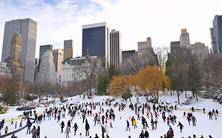
Northeast
Maine, New Hampshire, Vermont, Massachusetts, New York, Rhode Island, Connecticut, New York, Pennsylvania, New Jersey, Delaware, Maryland, and West Virginia.

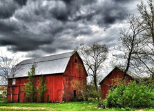
Midwest
Illinois, Missouri, Indiana, Michigan, Wisconsin, Minnesota, Iowa, and Ohio.


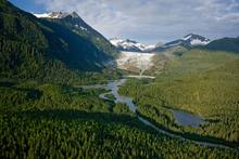
Northwest
Oregon, Idaho, Washington, and Alaska.
Picture
Picture
Picture
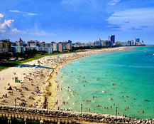
Southeast
Alabama, Arkansas, Florida, Georgia, Kentucky, Louisiana, Mississippi, North Carolina, South Carolina, Tennessee, and Virginia.


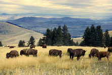
Great Plains
Montana, Wyoming, North Dakota, South Dakota, Nebraska, Kansas, Oklahoma, and Texas.


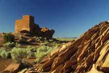
Southwest
California, Nevada, Arizona, New Mexico, Utah, Colorado, and Hawaii.
Powered by Create your own unique website with customizable templates.